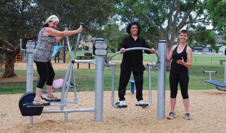
The Koonung Creek Linear Park follows the course of the Koonung Creek (and the Eastern Freeway) which forms the boundary of Manningham, Whitehorse and some of Boroondara.
The Linear Park is a significant recreation corridor offering opportunities for walking, cycling and dog walking.
The landscape character of the Linear Park offers a mix of natural settings, indigenous bushland and open parkland.
The Linear Park contains the Koonung Trail, a shared path for cyclists and pedestrians which has good connections to on-road paths, and links directly to the Main Yarra Trail and the EastLink Trail.
The Koonung Creek Linear Park is approximately 10 kilometres in length from Thompsons Road, Bulleen to Springvale Road, Donvale.
The Koonung Trail is the main commuter trail between Springvale Road and Burke Road where it joins the Main Yarra Trail.
The Koonung Trail crosses to the south side of the Eastern Freeway at Church Road, Doncaster.
West of Church Road there is the secondary bicycle route on the north side of freeway. Trail markers clearly identify the different routes.
Places and spaces
- Park Reserve
- Koonung Park
- Boronia Reserve
- Katrina Gully Playground, Doncaster
- Darvall St, Donvale
- Windella Playground, Doncaster
- Wilsons Reserve, Doncaster (100m from trail)
- Kingsnorth Reserve, Doncaster (150m from trail)
- Marshall Reserve, Doncaster (350m from trail)
Paths and trails
- Koonung Trail joins the Main Yarra Trail at Burke Road, Kew linking it to the City
- From Springvale Road the trail follows the EastLink Trail to Frankston
- By making use of the above links, the Koonung Trail also connects to Diamond Creek Trail, Brushy Creek Trail, Outer Circle Trail and Plenty River Trail
- The Mullum Mullum Trail links the EastLink Trail to the Main Yarra Trail.
For more information about the using Koonung trail, download the trail guide.
How to get there
Off-street parking
- Boronia Reserve, Donvale
- Leeds Street, Doncaster East
- Park Reserve, Doncaster
- Koonung Park, Bulleen
Toilets and drinking fountains
- Koonung Park, Bulleen
- Boronia Reserve, Donvale
Bus accessible
- Park and ride on the corner Doncaster Road and Hender Street, Doncaster.
Bring your dog
Commuter Trail
- Dogs on lead on the path and within 5 metres of the path
Secondary Trail
- Dogs off lead except within 15 metres of a playground, barbecue or sporting event
