How to view aerial photography
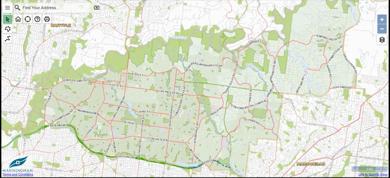
Use our maps to search Manningham, property addresses, wards, healthcare centres and other places of interest.
Refer to the top right of the screen and select the change map icon
Choose from aerial photography maps between 2019 and 1998
Select a property to view more detailed information about a property.
| Icon Description | Icon |
|---|---|
|
Change map icon |
 |
|
Click map icon |
|
|
Help icon |
|
|
Home icon |
|
|
Print icon |
|
|
Show your location icon |
|
|
What's nearby menu icon |
|
|
Zoom in icon |
|
|
Zoom out icon |